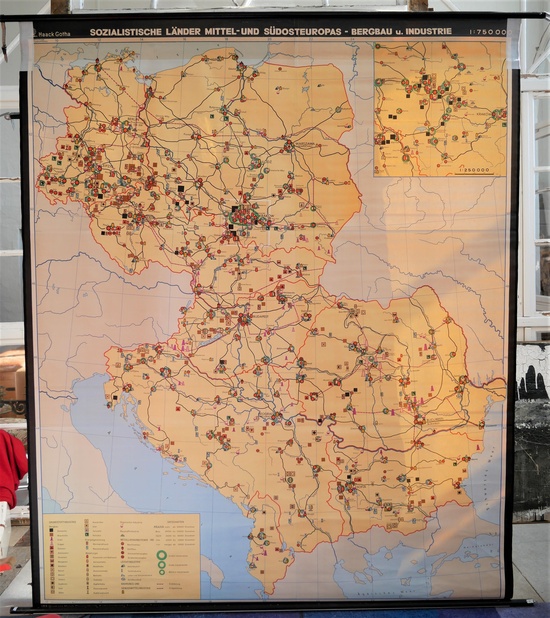
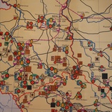
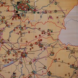
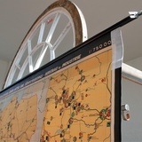
School Wall Map Socialist Countries of Europe
No. 28059
B 2,10m x H 2,45m
Description
School wall map/ scroll map of Germany in the late Middle Ages 1273-1437 by Haach Hertzburg for Perthes Darmstadt, newly edited by Prof. Dr. Herbert Helbig.
Dating: 1950/60s
Width map without hanging/ rolls: 1,90 m
Fabric with plastic coating
Measures and Weight
- Width: 2100 mm
- Höhe/Länge: 2450 mm
Material
- Wood
- Linen
Epoch
- DDR

